As a preview of Geographic Information Systems (GIS) Day on November 19, we interviewed Robert Hayes, GIS Manager, to gain insight into how this technology is benefiting our Township. Rob joined our staff team over a year ago and brings years of work expertise. In 2016, he began as a technician, and next became a planner, then chief building inspector, and now a GIS manager where he develops workflows, defines policies, and plans deployment. Outside of work, Rob spends his time kayaking, practicing archery and going to the gym. We offer our congratulations to him on his recent engagement!
Rob’s GIS efforts support nearly every Township department by making information more accessible and easier to understand. For example, GIS helps:
- Public Works - plan maintenance and repairs
- Sewer and Stormwater - track infrastructure and assets
- Parks & Recreation – manage parks and facilities
- Code Enforcement – monitor inspections and compliance
By centralizing this data, Rob can make informed decisions, improve efficiency, and increase transparency for both staff and residents. Stay tuned next month to see more GIS in action.
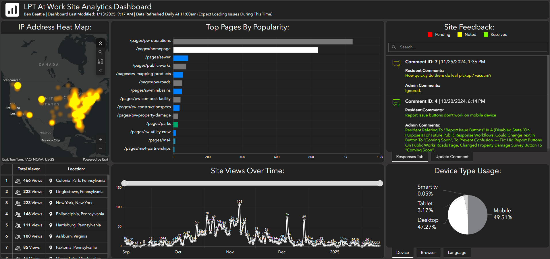
GIS example: LPT at Work analytics dashboard used by employees
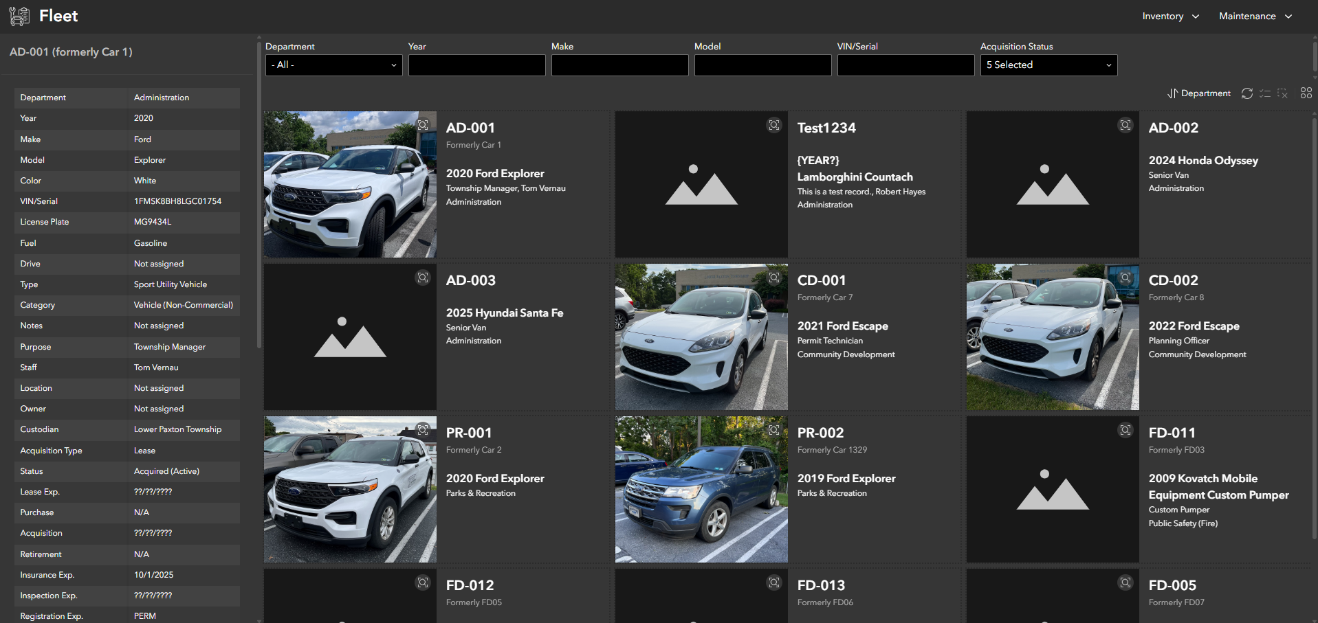
GIS example: Fleet Management System is a centralized database that tracks all Township vehicles, equipment, and buildings.